LandOffer
Job search
GIS Analyst Resume: Connect Spatial Methods to a Decision and Its Limits
Describe the spatial method, retained data and decision owner while distinguishing a completed comparison from an unresolved coordinate-system quality hold.
A GIS Analyst resume should connect a spatial question, the data and method you used, your individual contribution, and the decision the work supported. Name the limitation that changes the result’s use, such as old boundary geometry, excluded coordinates or an unverified source reference system. A list of mapping applications cannot tell an employer whether you checked source quality, chose a defensible method, or simply styled an existing layer.
LandOffer publishes this guide. We reviewed current public sources on October 23, 2026 and completed two original fictional resume exercises. All people, employers, datasets, dates, coordinate-system assignments and analytical results in those exercises are stipulated teaching inputs. We did not run GIS software, transform coordinates, perform a spatial join or verify a real project. Use recent roles on LandOffer.ai to match your actual evidence to the responsibilities requested.
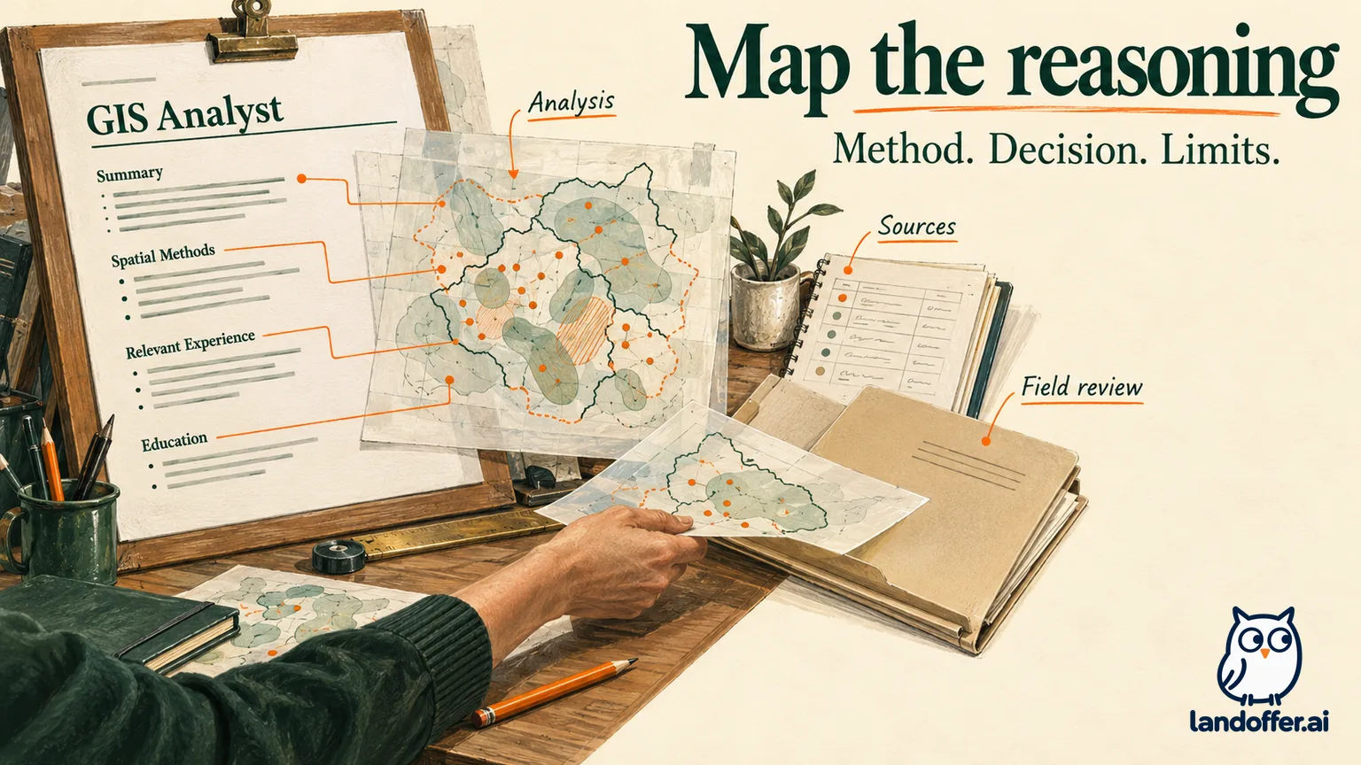
Start with the responsibility behind the map
The current O*NET GIS occupation profile, updated in 2026, includes GIS Analyst among its reported job titles. Its tasks span reviewing incoming data quality and documentation, producing spatial outputs, maintaining databases, modeling, programming and supporting users. That broad profile helps identify relevant work; it is not a universal job description or a guarantee that every GIS Analyst vacancy requires the same stack.
Read the actual posting for its center of responsibility. A data-maintenance role may value reconciliation, documentation and repeatable updates. An analysis role may require explaining the spatial relationship and why it supports a recommendation. A cartographic role may emphasize communicating a finding to a particular audience. Choose the experience that answers that requirement rather than attaching every GIS keyword to the same map.
Keep your held title and dates intact. A GIS Technician who prepared a quality-controlled input can describe that contribution without claiming the project scientist’s interpretation. A GIS Analyst who produced a shortlist can name the recommendation without taking credit for a manager’s budget approval or a contractor’s completed fieldwork. Keep the analyst’s contribution and the decision owner in the sentence so the reader can distinguish analysis from authorization.
Capture the method and its denominator before compressing it
Build a short project record from your actual notes. Identify the question, input owner and observation period, relevant fields, coordinate reference system, processing method, exclusions, output and decision owner. Distinguish a source’s download date from the period its records describe. An updated file can still contain old observations.
For a spatial join, explain which relationship was used and what happened to points on boundaries or outside all polygons. For a table join, state the key and how duplicates or unmatched rows were handled. Receiving an aggregated table is different from designing and executing the spatial operation that produced it. Preserve that difference in your verbs.
A useful resume sentence can follow this structure: “Performed [specific method] on [bounded inputs], resolving [quality issue], to support [decision], with [material limitation].” Use this structure to identify a missing method or decision before shortening the wording; it is an editing aid, not a required template. A single bullet need not carry every metadata field; the paired portfolio or interview note can hold details needed to interpret it.
Avoid a result that cannot be traced back to its input. “Improved accuracy” needs a defined measure and comparison. “Mapped 5,000 assets” needs a distinction between new collection, imported records, reviewed features and a displayed layer. Counts can describe scope without measuring quality, operational benefit or analytical validity.
Worked asset one: rewrite an analysis contribution and decision
Fictional case: Celia worked as a GIS Analyst at Granite Municipal Services, March 2023–September 2026. The project asked which drainage catchments should receive an initial field review of maintenance reports. This is an invented work-history exercise; the following geographic results are supplied rather than computed here.
| Completed fictional project record | Stated evidence and boundary |
|---|---|
| Inputs | 84 work-order rows describing April–June 2026; catchment polygons supplied by the engineering team from a January 2025 revision |
| Source quality | Six repeated work-order IDs removed and four different rows with missing coordinates excluded; the two groups do not overlap |
| Coordinate system | Both accepted point and polygon datasets stipulated as NAD 1983 UTM Zone 17N, with metre units; this article has not inspected or transformed geometry |
| Method | Record states a point-in-polygon join; boundary cases flagged for review rather than silently counted twice |
| Supplied output | 74 retained reports assigned once: catchment A has 18, B has 27, C has 29; no unmatched or boundary cases in this stipulated output |
| Decision | Engineering manager selected B and C for initial field review using report counts plus staffing availability |
| Limitation | Reports indicate recorded maintenance demand, not confirmed infrastructure failure, flood likelihood, or population exposure |
The record supports an explicit scope calculation: 84 − 6 − 4 = 74, and 18 + 27 + 29 = 74. We checked those additions and subtractions against the supplied counts; that is a consistency check of the fictional record, not a spatial computation. It does not validate point locations, catchment boundaries or the claimed spatial join. The polygon date also matters: a later boundary revision could change assignment without changing any work-order attribute.
An inflated draft says: “Optimized drainage infrastructure with advanced GIS, reducing flood risk by 40%.” Nothing in the supplied record measures flood risk or a before-and-after infrastructure change. The manager selected a field-review sequence; no construction, repair or risk reduction is recorded.
The finished experience excerpt keeps the held role and gives three usable bullets:
GIS Analyst — Granite Municipal Services | March 2023–September 2026
- Reconciled 84 maintenance-report rows by work-order ID; removed six repeats and excluded four distinct records with missing coordinates before catchment aggregation.
- Summarized 74 retained reports across engineering-supplied catchments using the recorded point-in-polygon workflow; documented input dates, coordinate system and assignment rules.
- Prepared a catchment comparison for the engineering manager’s field-review planning; distinguished reported demand from verified asset failure and retained the older boundary revision as a limitation.
The paired interview note explains Celia’s ownership: “I prepared and checked the input record, produced the catchment comparison, and documented exclusions. Engineering supplied the catchment boundaries and chose the review areas. The record contains no field-confirmed failure assessment or measured flood-risk outcome.” These statements are final wording for the fictional case, not claims about a real analyst.
This version still has a result: the manager received a bounded comparison for a named decision. It does not need an unsupported impact percentage to make the work legible. If Celia had only styled the map from someone else’s aggregation, the method bullet would need to credit that analyst instead.
Explain coordinate-system work without claiming a different operation
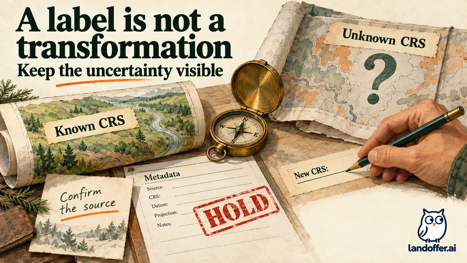
A resume should distinguish identifying a source reference system, assigning known metadata and transforming coordinates. Esri’s current Define Projection documentation says that operation updates coordinate-system information without modifying geometry. It is not a substitute for converting coordinates into another system.
Esri’s Project documentation describes transformation between coordinate systems and the possible need for a geographic transformation when datums differ. It also distinguishes feature projection from raster projection. Do not compress all of these operations into “fixed the CRS” if that wording hides what you actually did.
The distinction changes the claim. A file whose documented source reference is missing may need correct metadata assigned from reliable provenance. Coordinates genuinely stored in another system need an appropriate transformation. Choosing a system because the layer looks close to the basemap does not document the source. Record the source documentation that establishes the reference system, including units and datum where relevant. If that provenance is absent, retain the unresolved status rather than treating visual alignment as confirmation.
In a short resume, you might write “documented source CRS and withheld unresolved contractor geometry” rather than listing a code you cannot explain. The exact reference, units, transformation and output version can sit in the supporting note when they are material. Do not claim metre-based distance or area accuracy from the appearance of a map alone.
Worked asset two: make a quality hold useful resume evidence
Independent fictional case: Ivo was a GIS Technician at Pine Reach Environmental, July 2022–August 2026. A scientist requested an updated sample-location map and comparison table. Ivo’s record concerns metadata and integration decisions, not Celia’s catchment analysis. Its supplied inputs are:
| Fictional input | Quality or compatibility finding | Completed disposition |
|---|---|---|
| ST-08 station registry, August 2024 | Source documentation identifies WGS 84 longitude/latitude in degrees; registry predates the latest laboratory table | Retain the documented source; flag new station IDs for owner reconciliation |
| LB-16 laboratory table, April 2026 | Repeated station IDs represent different sample dates; detection-limit qualifiers are not documented | Keep sample date in the record key; request qualifier definitions before comparing concentrations |
| CX-11 contractor location export, May 2026 | Coordinates described only as “local grid”; datum, units and conversion provenance are absent | Hold spatial combination; do not guess a CRS or overwrite its label to match ST-08 |
These are invented source facts, not files we inspected or mapped. The completed decision is to provide the scientist with an exception log and an attribute-level reconciliation note while withholding the combined location map and concentration trend. A scientist owns the environmental interpretation; Ivo owns the documented quality findings and their handoff.
His original wording, “Integrated all monitoring datasets and proved a pollution trend,” erases the unresolved grid and laboratory qualifiers. The record supplies a request for a map and comparison, followed by a documented hold; it supplies neither a completed concentration trend nor a verified combined map. The finished version is narrower and more informative:
GIS Technician — Pine Reach Environmental | July 2022–August 2026
- Reviewed station, laboratory and contractor-location metadata for an environmental mapping update; documented source dates, coordinate units and unresolved spatial-reference information.
- Preserved sample dates when reconciling repeated station IDs and recorded missing qualifier definitions; supplied an exception log to the project scientist before concentration comparison.
- Withheld combination of undocumented local-grid coordinates with the geographic station registry; requested source-reference confirmation instead of relabeling the contractor geometry.
The completed supporting note states: “ST-08 has documented geographic coordinates; CX-11 does not have a verified source CRS. Attribute reconciliation does not resolve that geometry gap. LB-16 requires qualifier definitions before a comparable trend can be stated. The combined map and environmental trend remain incomplete.” No actual request was sent and no source metadata was changed for this exercise.
For a data-stewardship vacancy, Ivo can lead with reconciliation and the exception log. For a role requiring completed spatial modeling, this case exposes a gap rather than filling it. Keep a separate, genuinely completed analysis example if you have one. Do not rename the quality hold as geocoding, coordinate conversion or predictive modeling.
Choose verbs that preserve the decision boundary
“Prepared,” “analyzed,” “recommended,” “approved” and “implemented” describe different stages. Use the strongest verb your evidence supports, then name the object. Prepared a comparison, recommended field review, and authorized repairs cannot be treated as interchangeable accomplishments. A useful recommendation can remain useful even when implementation belongs to someone else.
Keep limitations proportionate. One clause about outdated geometry, missing observations or unresolved projection may be enough in the bullet; the portfolio can explain the full issue. A page of disclaimers can bury the contribution, but removing the limitation that changes the decision makes the sentence misleading.
Check whether the result is an observation, a derived comparison, a proposed action or an observed operational change. If a manager adopted the recommendation, retain a decision record. If later performance was never measured, do not infer savings, travel-time reductions or safety improvements. A map’s color classes do not supply those outcomes.
Finish with an explainable resume and source note
For each selected project, read the finished bullet beside its record. Verify the population counted, exclusion rule, observation period, coordinate method, output status and decision owner. Make sure the summary uses the same retained population as the detailed example: Celia’s 74 analyzed reports must not silently become 84 valid mapped locations. This article’s fictional excerpts have not been submitted to an employer or tested in an ATS. Keep job titles, dates and tool experience consistent across versions targeted to different employers.
Only list software and methods you actually used. These fictional records do not establish experience with ArcGIS Pro, QGIS, Python, SQL, field collection or any geoprocessing tool. A real candidate should pair the relevant tool with a concrete contribution rather than copying the occupation profile’s complete technology list.
Use a permitted, shareable supporting note when the work cannot be public. Do not expose precise private locations, restricted infrastructure records or client data to make a resume bullet more convincing. A sanitized explanation should preserve the analytical decision and clearly describe any details intentionally withheld.
Compare your final evidence with recent GIS-related roles on LandOffer.ai. Lead with a method you can explain, show the decision it supported, and keep the limitation that determines what the result can responsibly mean.
Sources and Further Reading
- O*NET: Geographic Information Systems Technologists and Technicians — current 2026 overview and all 30 task descriptions reviewed; occupation-wide context, not an individual vacancy.
- Esri: Define Projection — metadata assignment versus geometry change.
- Esri: Project — feature-coordinate transformation and datum considerations; public documentation checked October 23, 2026.